Old, and Some New, Photographs of Woodbridge & Melton
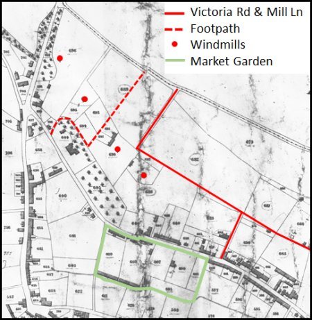
The red dots on the map to the left shows the locations of the four windmills which had been demolished by about 1886.
The red lines mark Victoria Road and the older Mill Lane.
The green line is boundary of the market garden on part of Ship Meadow. The market garden had been had been established, some time before 1892, by Robert Steel and sons, fruit growers and market gardeners. Their specialties were tomatoes and cucumbers grown in two large greenhouses. The venture came to an end after the Second World War.
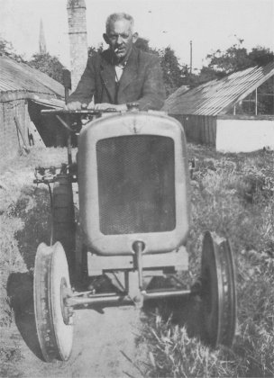
Robert Steel on his tractor.
By 1975 an access road, named Naverne Meadows, had been laid across the which used to be Robert Steel and Sons' market garden. The building of houses on the site was delayed by poor drainage but eventually the development was completed.
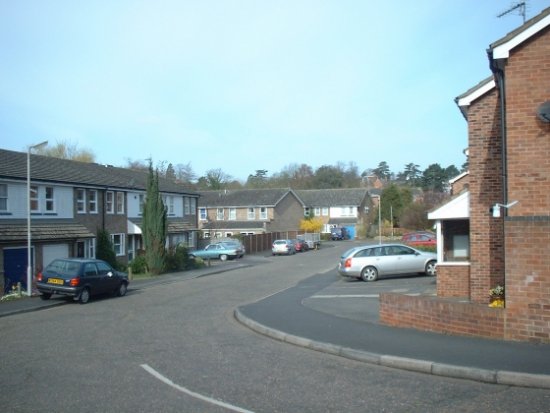
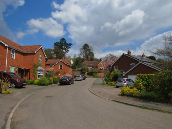
The development along Navern Meadows was soon followed by building houses on the upper part of Ship Meadow. The access road for this development was appropriately called Lockwood Close. This photograph shows the view looking along the entrance to Lockwood Close towards Castle Street.
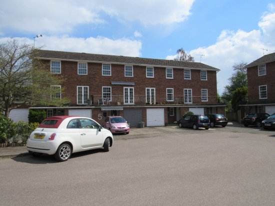
This photograph shows one of the three blocks of four apartments and garages at the bottom of Lockwood Close.
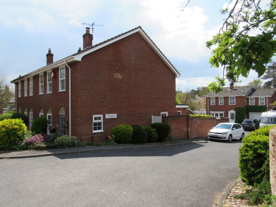
Adjacent to Lockwood Close there is this development of two semidetached houses. It was built on the site of semidetached house with large gardens.